1
/
of
3
Centerline Mapping
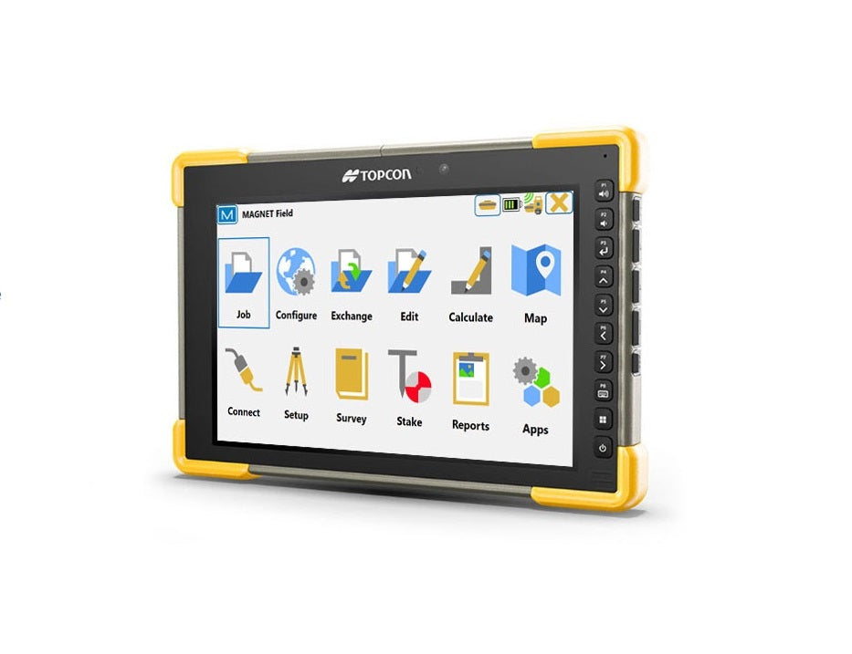
Topcon Field Software
Topcon Field Software
Regular price
$835.00 USD
Regular price
$1,000.00 USD
Sale price
$835.00 USD
Unit price
/
per
Couldn't load pickup availability
Topcon Field is a powerful and intuitive field application software that enables you to collect survey mapping data and perform construction and road layout using total stations, levels, and GNSS receivers. Topcon Field is easy to use. Perform topographic and layout operations with a supportive Microsoft Bing Maps satellite image background. Carry your custom CAD standards to the field with a single screen tap; the software will instantly draw three dimensional linework and symbols.
Features:
- Intuitive user interface
- Advanced roading tool set
- Vast library of Import / Export file formats
- Calculate, contour, and compare surfaces
- Surface staking with automatic
- Digital Terrain Model creation
- Colorized cut and fill indicators, as well as volume calculations
- Direct connectivity to your private Company Account for easy data exchange and quick chat
- Microsoft Bing Maps® for real-time images behind your points, lines, and imported design files
Price includes 12 month subscription! (Ask about other options like 3 year subscriptions)