Regular price
$19,995.00 USD
Sale price
$15,995.00 USD
Unit price/ per
Sale
Sold out
Couldn't load pickup availability
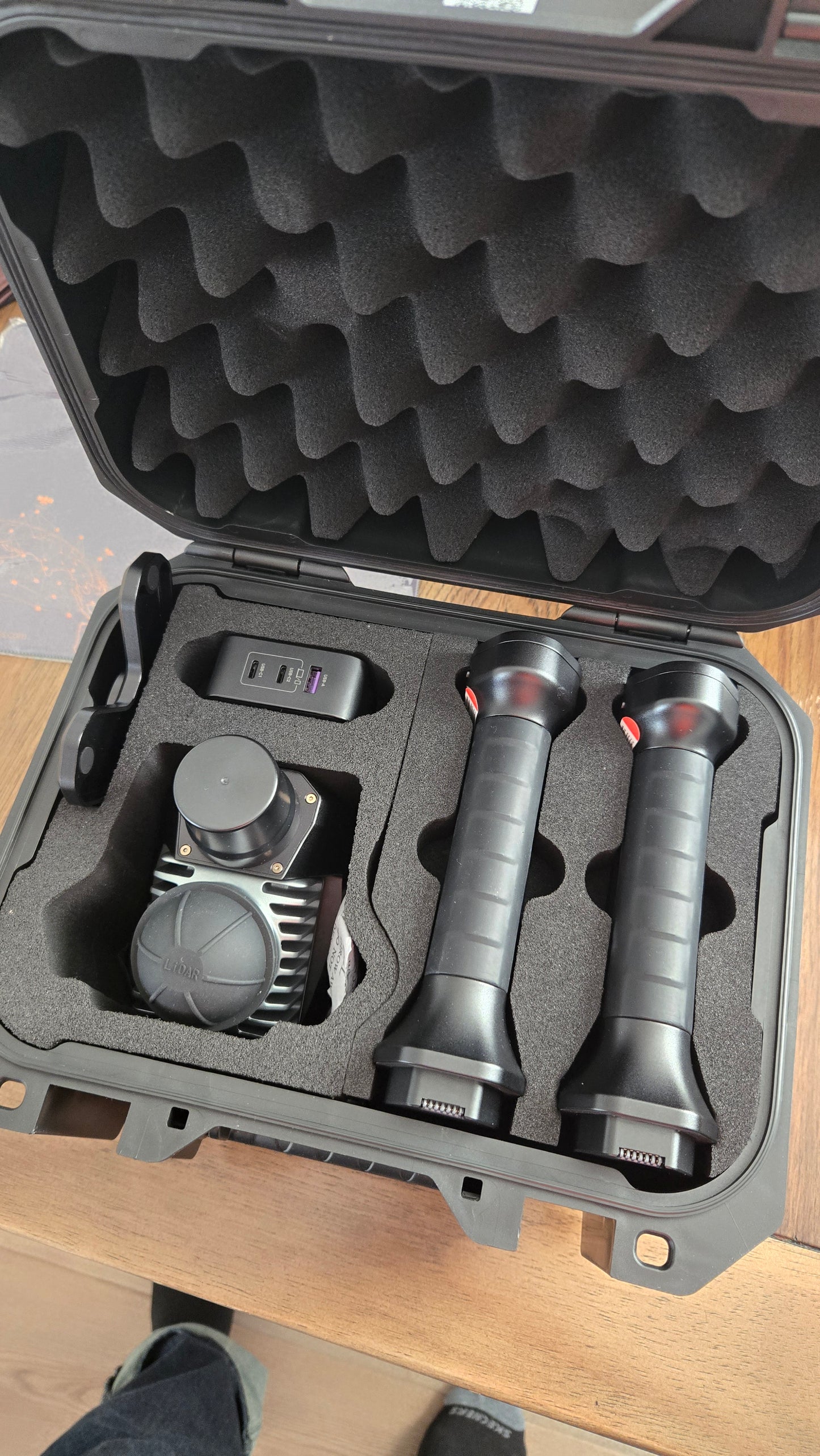
The MS70 Handheld LIDAR Scanner is a groundbreaking tool that revolutionizes 3D data collection. This lightweight device combines a 20° tilt mechanism, dual wide-angle cameras, and an integrated RTK module to accurately capture very precise detail and vibrant color scans. It Integrates advanced point cloud algorithms, enabling one-person operation to quickly obtain comprehensive color point cloud easily obtain true 3D information and complete spatial mapping.
The MS70 is an ideal tool and complete solution for Construction & Environmental Monitoring, Indoor Mapping and 3D Modeling, Building Information Modeling (BIM), Existing Condition Surveys, Concrete Scanning and Utility Locating Documentation, Volume Calculations, Forestry Inventory, Architecture, Conservation, Facility Management, and much more.
Price includes (1) MS70 Handheld LiDAR Scanner, (1) 6" Android Data Collector, Meridian Lidar Go Android OS mobile data collection application, and Meridian Lidar Studio for Advanced Desktop Processing.