Regular price
$9,000.00 USD
Sale price
$8,000.00 USD
Unit price/ per
Sale
Sold out
Couldn't load pickup availability
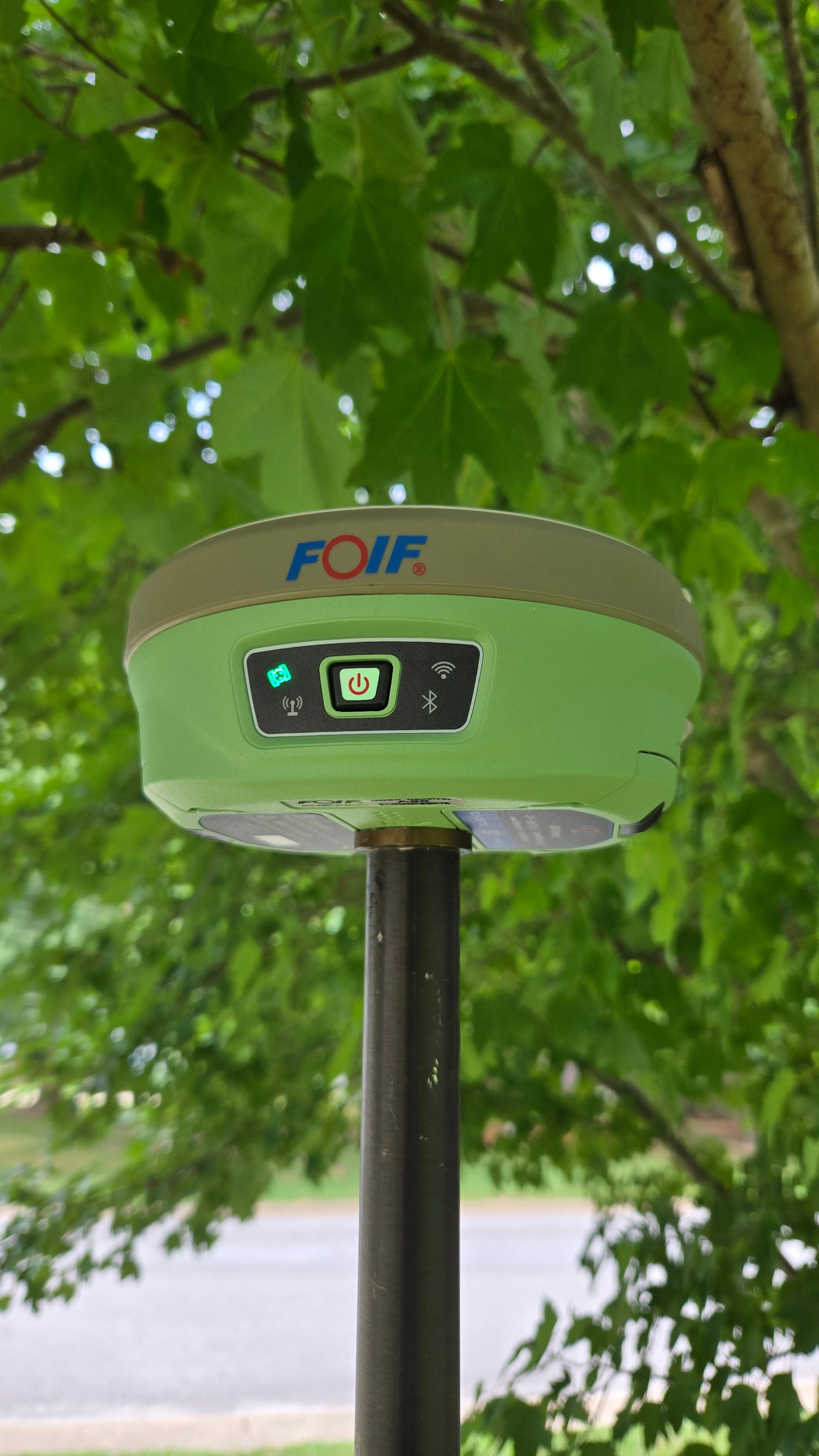
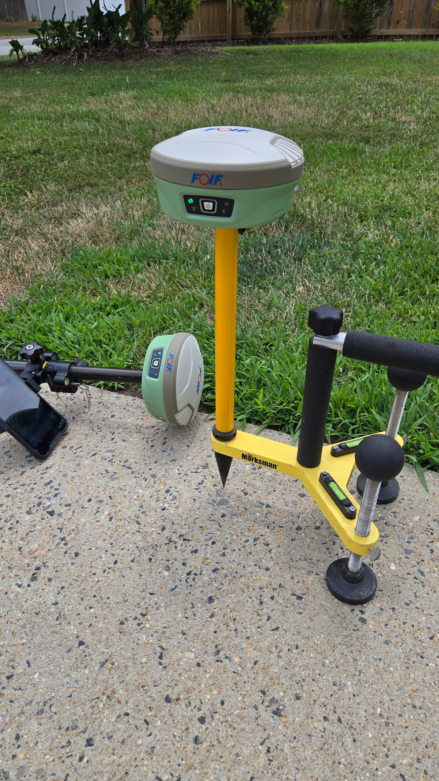
The A90 GNSS features compact design, professional GNSS satellites tracking, cutting-edge IMU tilt survey technology and web UI controls. The bundled android field software brings a big change to user experience and accessibility.
Features
Compact design, more productive
Professional GNSS satellites tracked simultaneously(GPS, Glonass, Galileo, Beidou)
Cutting-edge IMU tilt survey technology is adopted, supporting up to 60° tilt angle
Applies WIFI connection to realize WebUI control designed to modify settings and monitor the receiver status
Bundled Android field software brings a big change in user experience and accessibility