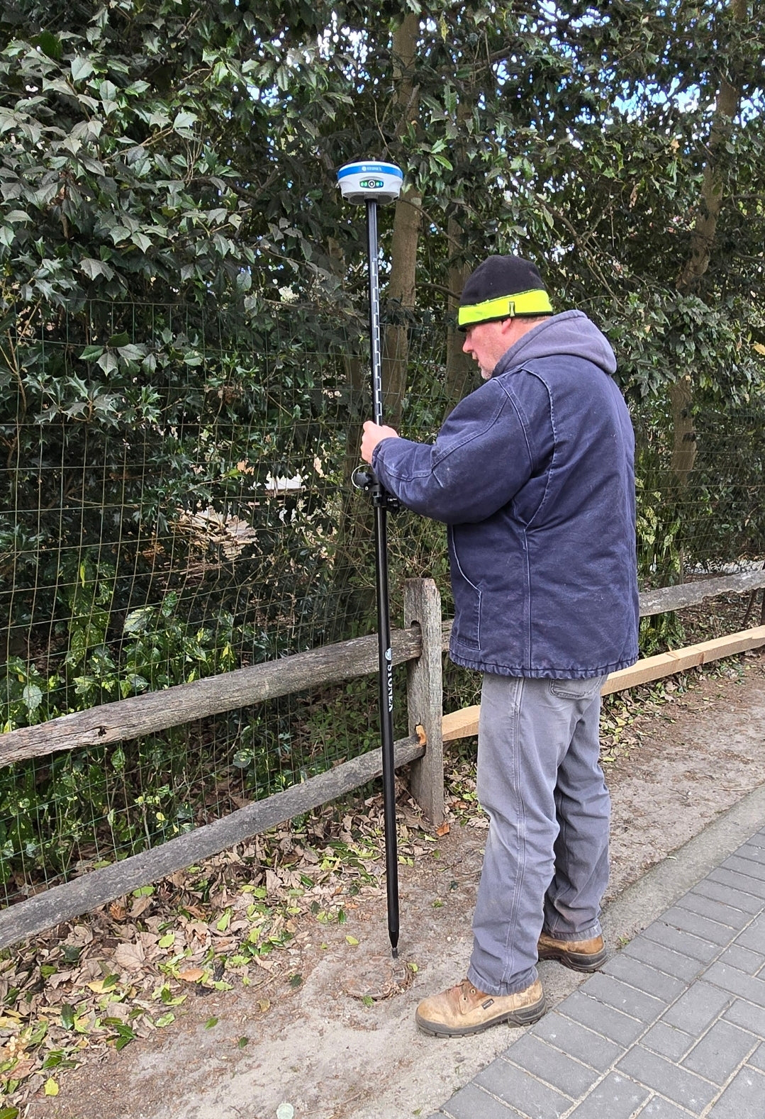
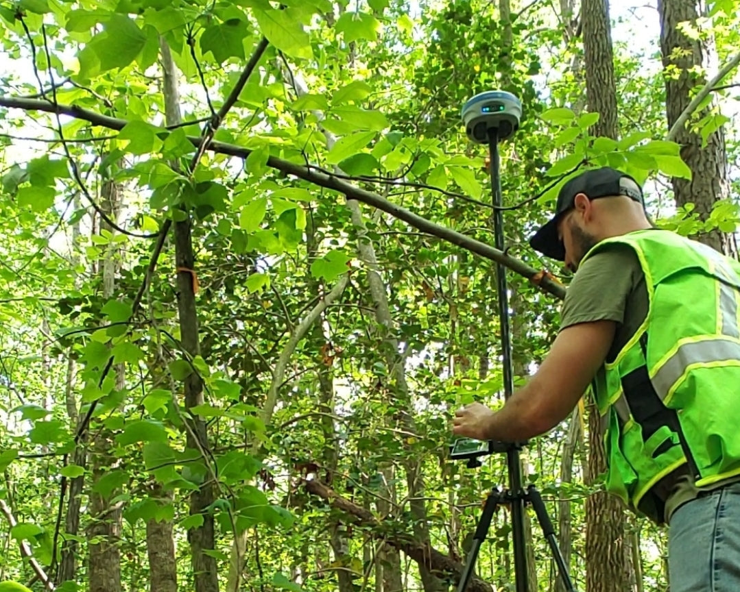
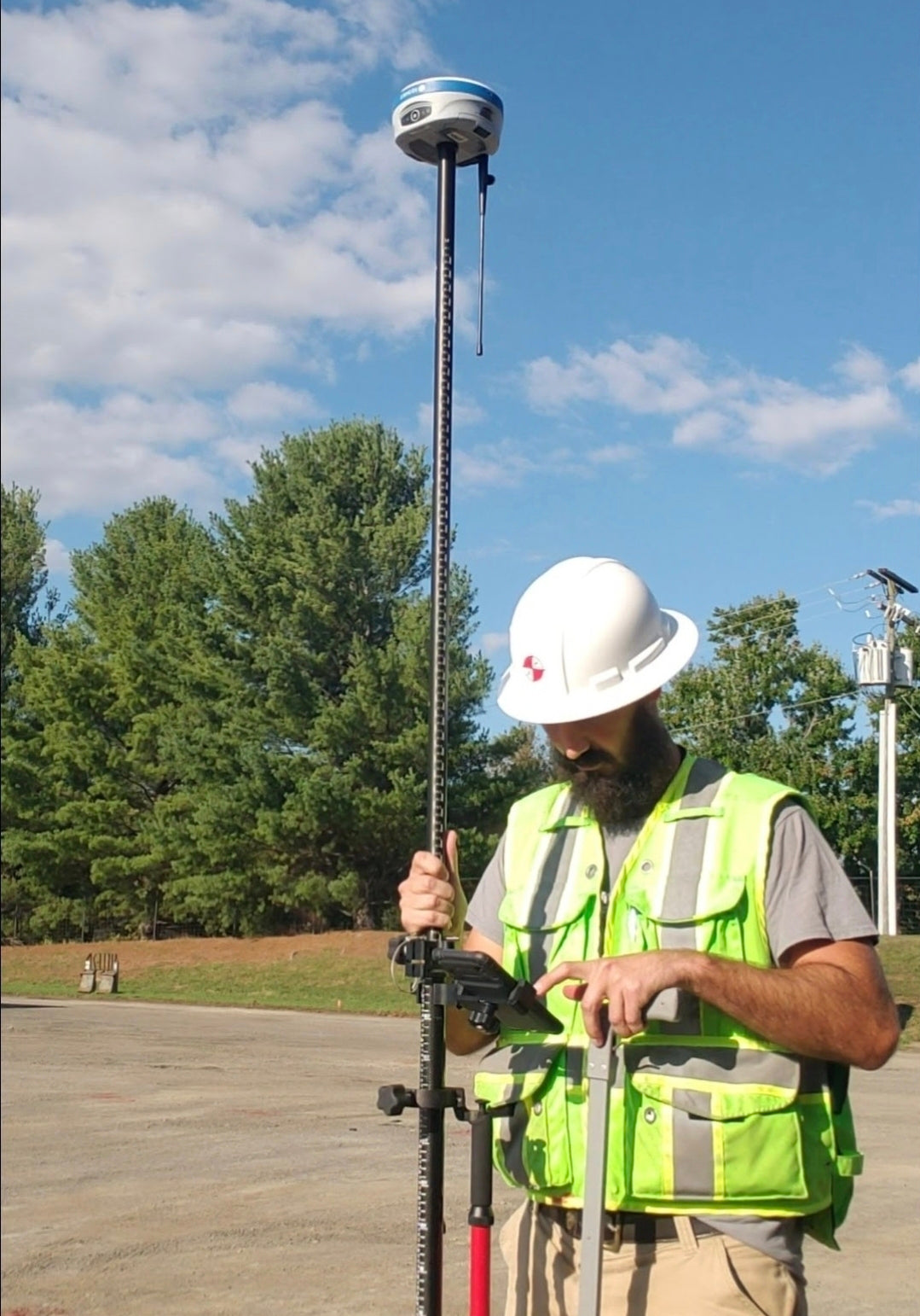
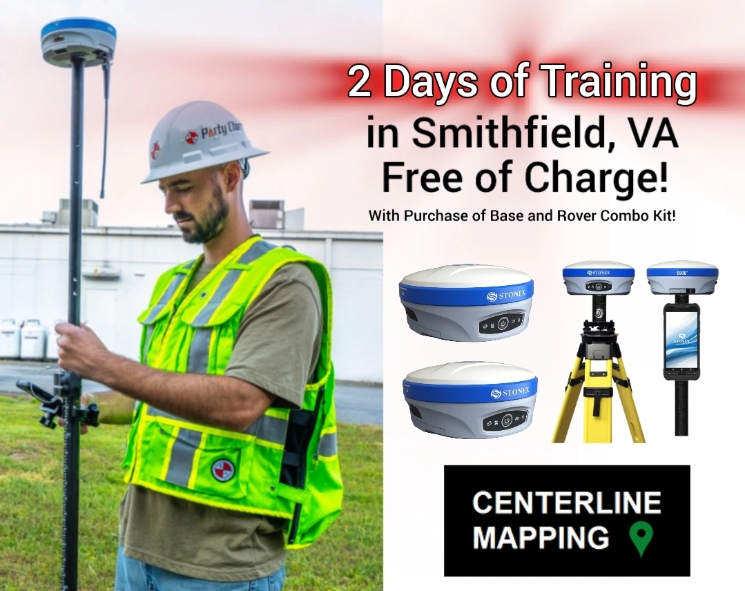
Centerline Mapping
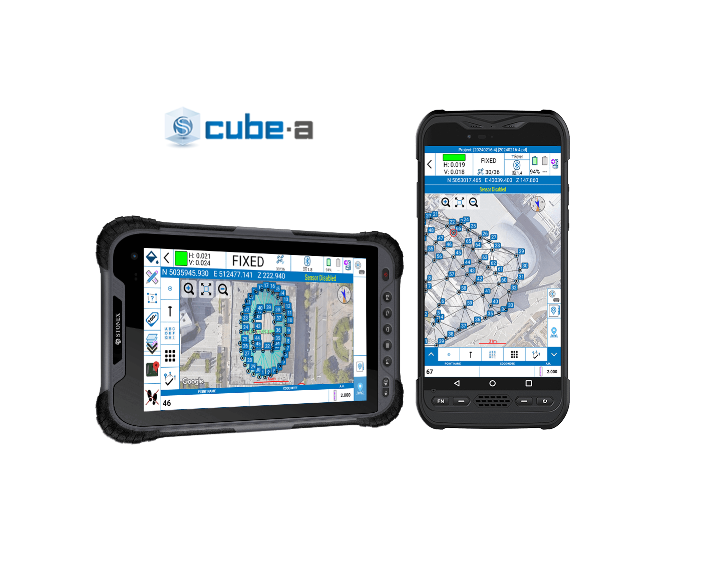
Cube-a Field Software
Cube-a Field Software
Couldn't load pickup availability
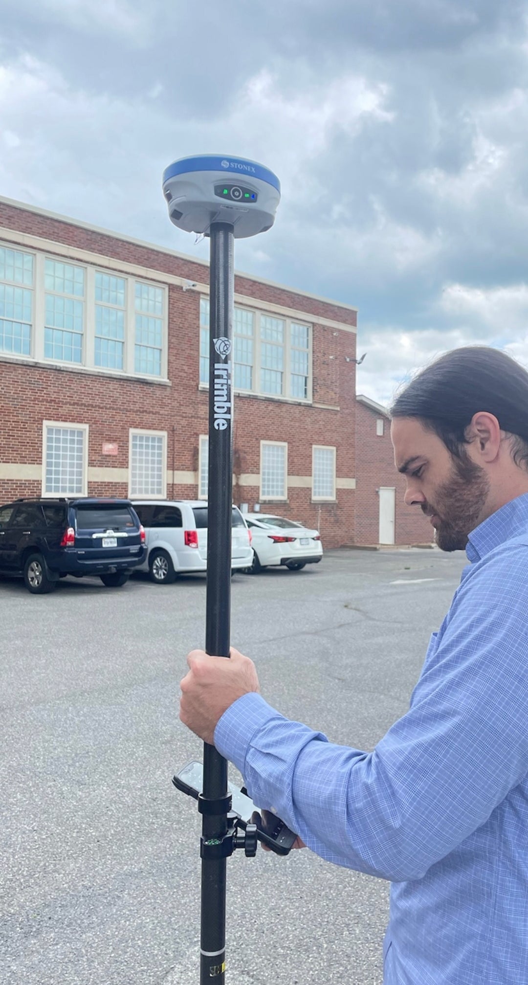
Cube-a GPS V7 Field Software
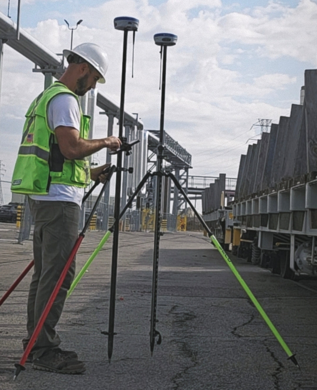
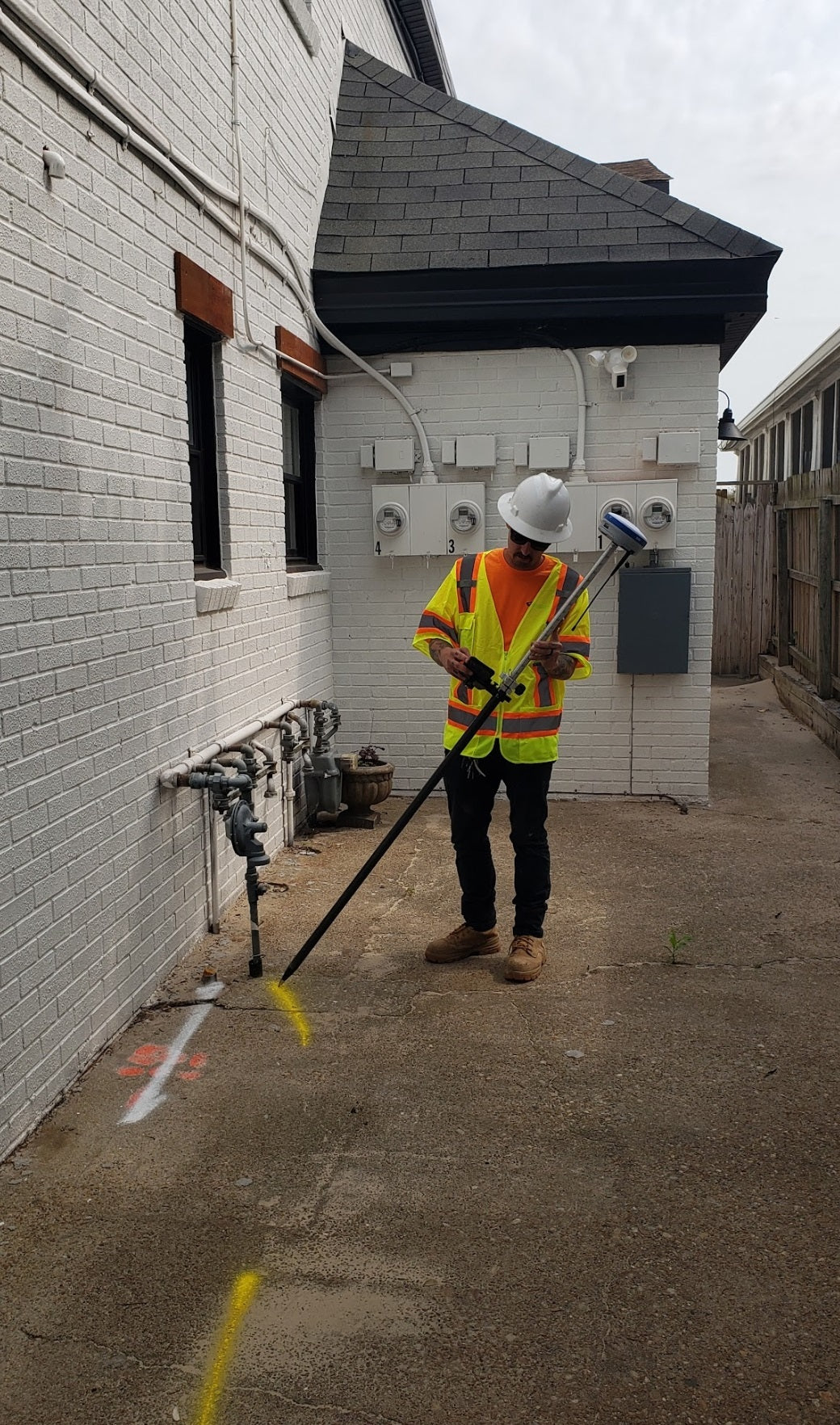
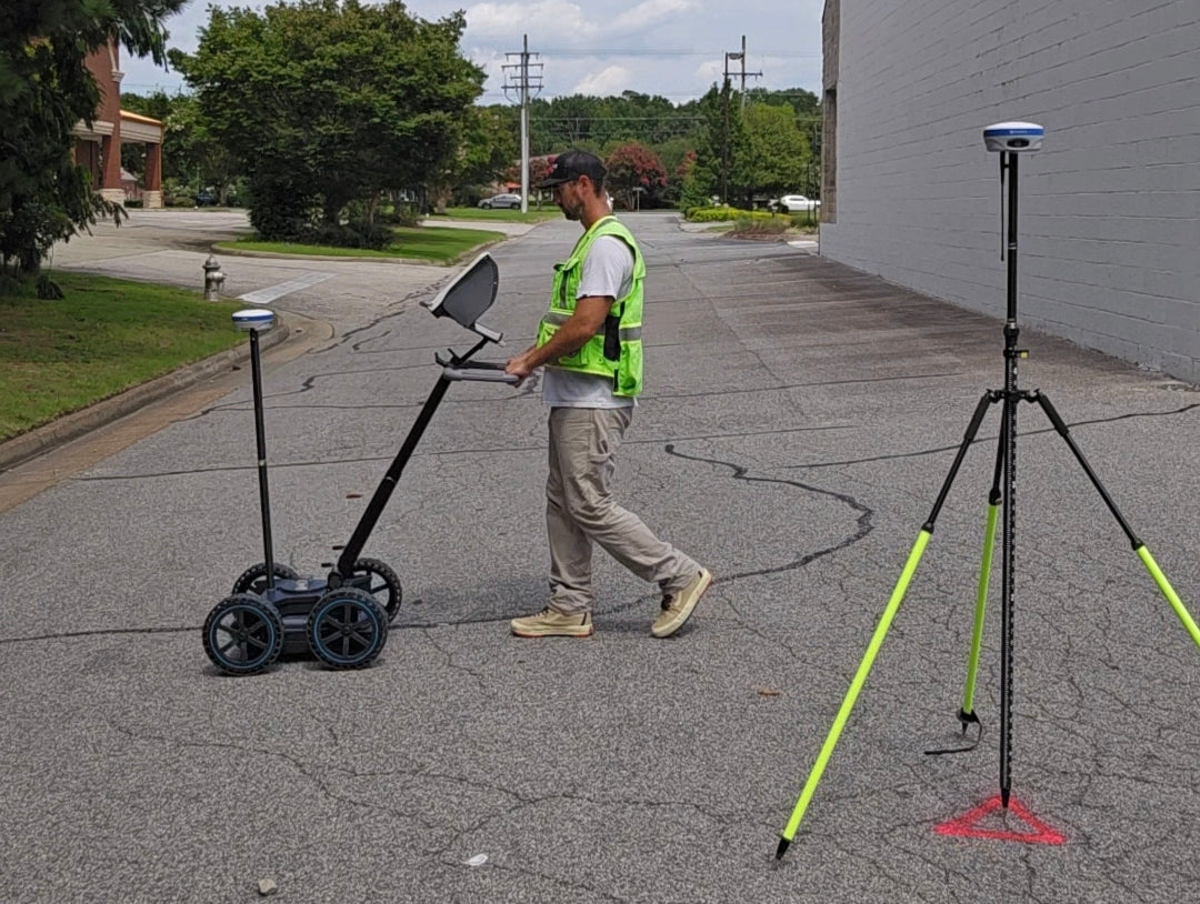
Designed and developed for the Android platform, Cube-a is Stonex’s solution for Professional Land Surveying, Subsurface Utility Engineering, Civil Engineering, Grade Checking, Construction Layout & Road Stakeout, 3D Modeling, GIS Data Collection, AR+ Photogrammetry, CAD Drawing, COGO Calculations, and so much more.
To demo this software, download this Cube-a v7 APK file to your device and then email our team to request a 30-day demo license. This software application runs on Android OS.
Email for a Demo License ➡ centerlinemapping@gmail.com
*Cube-a GIS does not work stand alone. It is available only with Cube-a GPS.
Applications Include:
✅ Land Surveying
✅ Boundary Surveys
✅ Aerial Mapping
✅ ALTA Surveying
✅ Physical Surveys
✅ Property Stakeouts
✅ Subdivision Platting
✅ Site Construction
✅ Civil Engineering
✅ Infrastructure
✅ Grade Checking
✅ Geodetic Control
✅ Topographic Mapping
✅ Subsurface Utility Engineering
✅ Elevation and Machine Control
✅ Utility Locating, Surveying, & Mapping
✅ Ground Penetrating Radar (GPR) Positioning
✅ Unmanned Aerial Vehicle (UAV) Positioning
✅ Conservation Management
✅ Volume Calculations
✅ GIS Data Collection
✅ Photogrammetry
✅ Archaeology


DATASHEET